


Itinéraire Cyclo : La Haute-Mauriennaise
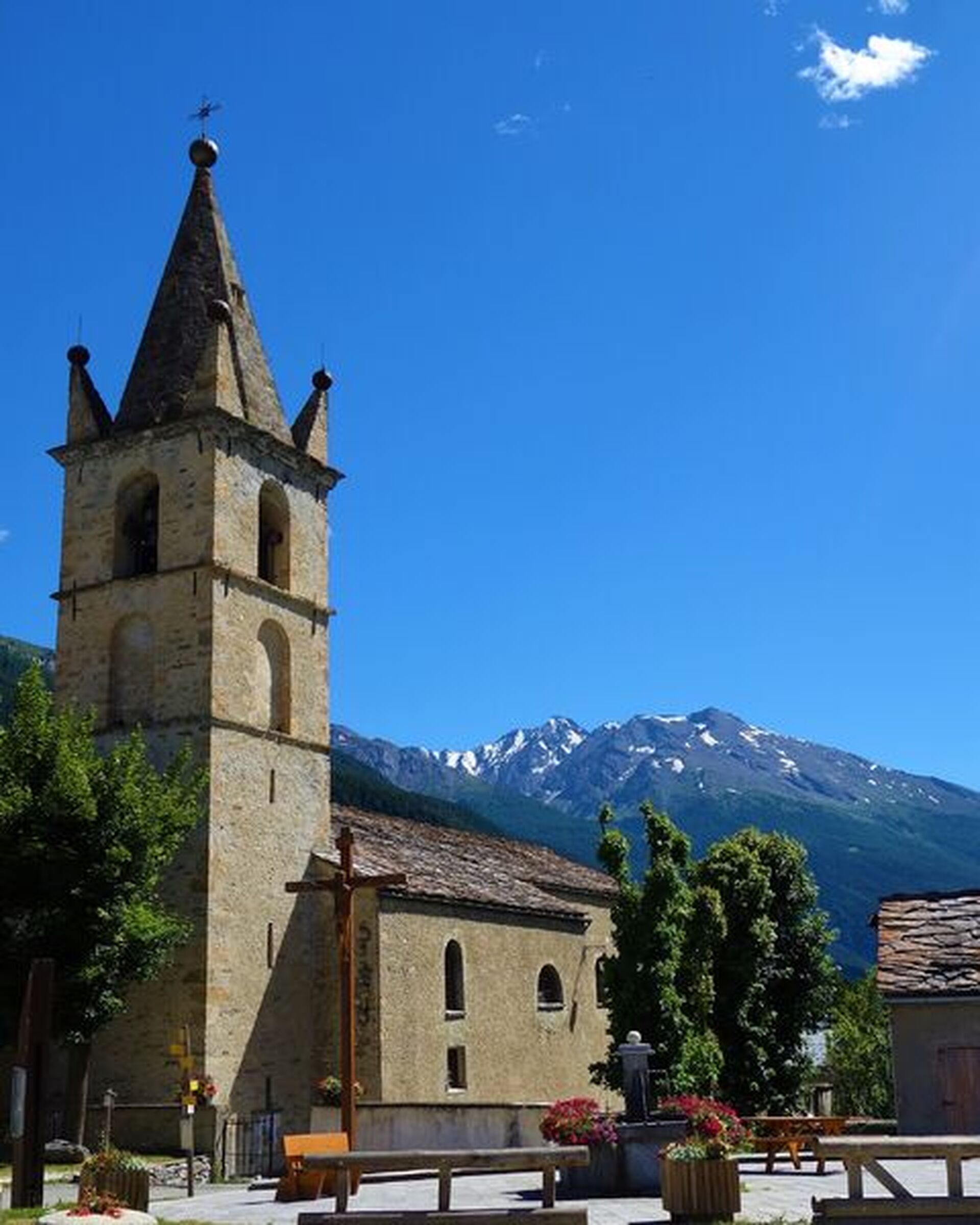
Saint-Michel-de-Maurienne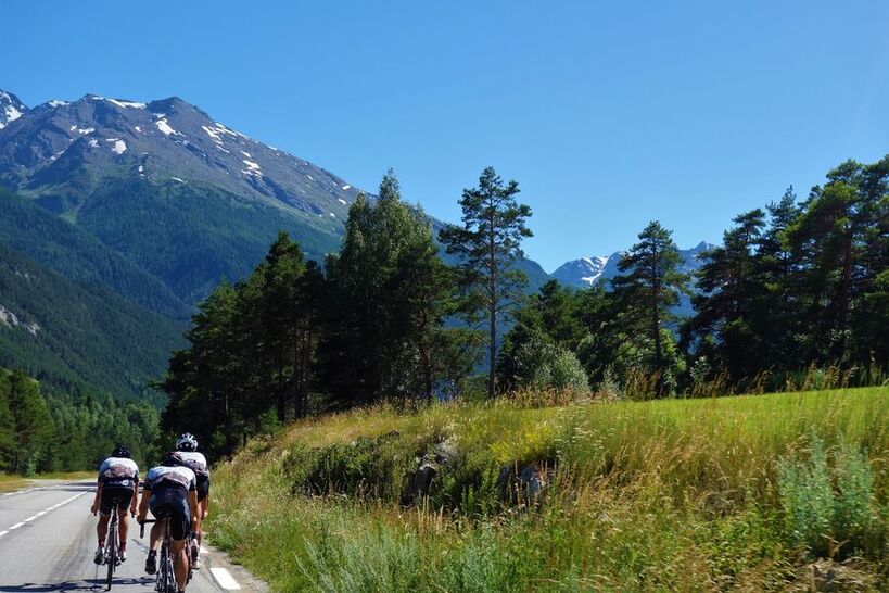
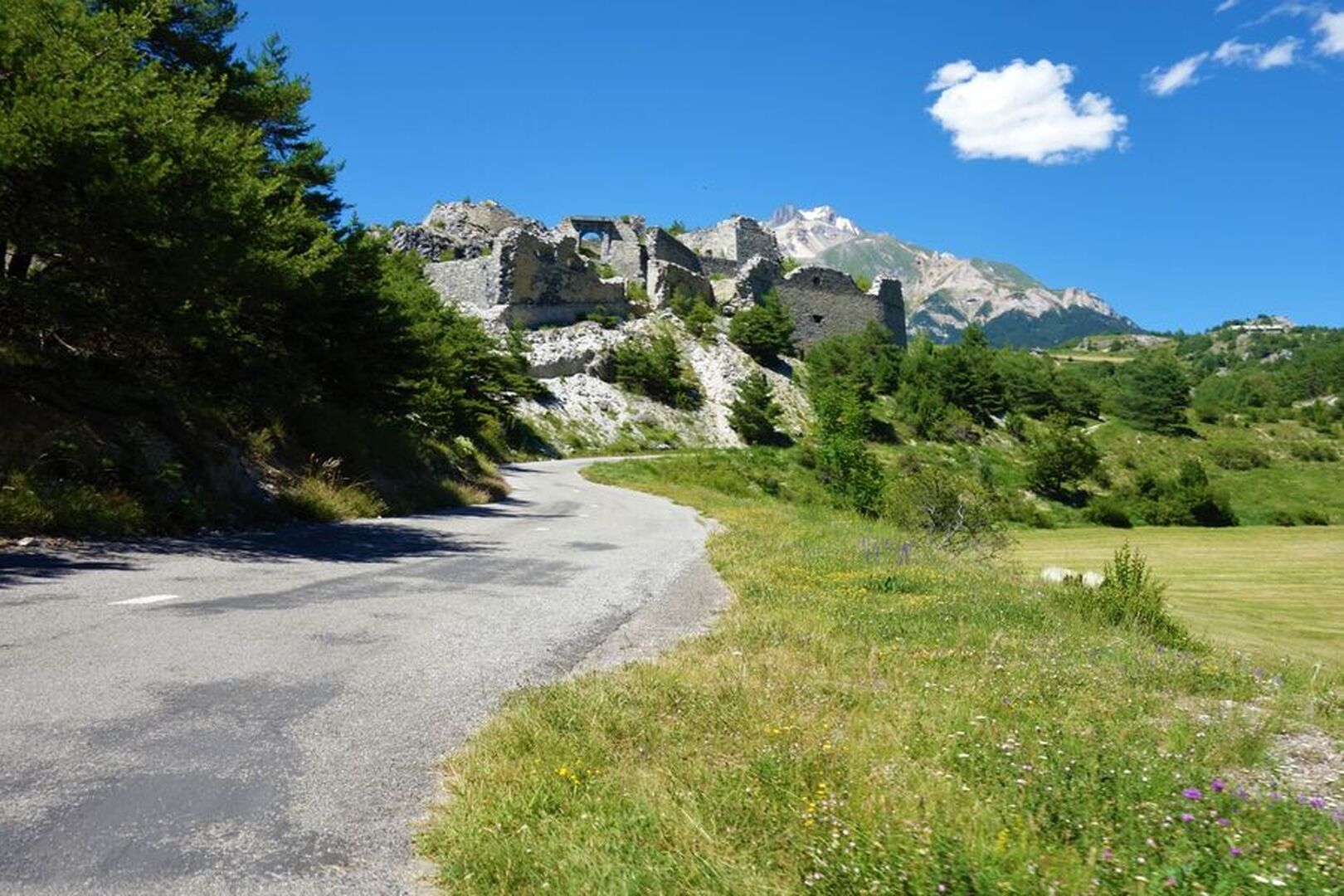
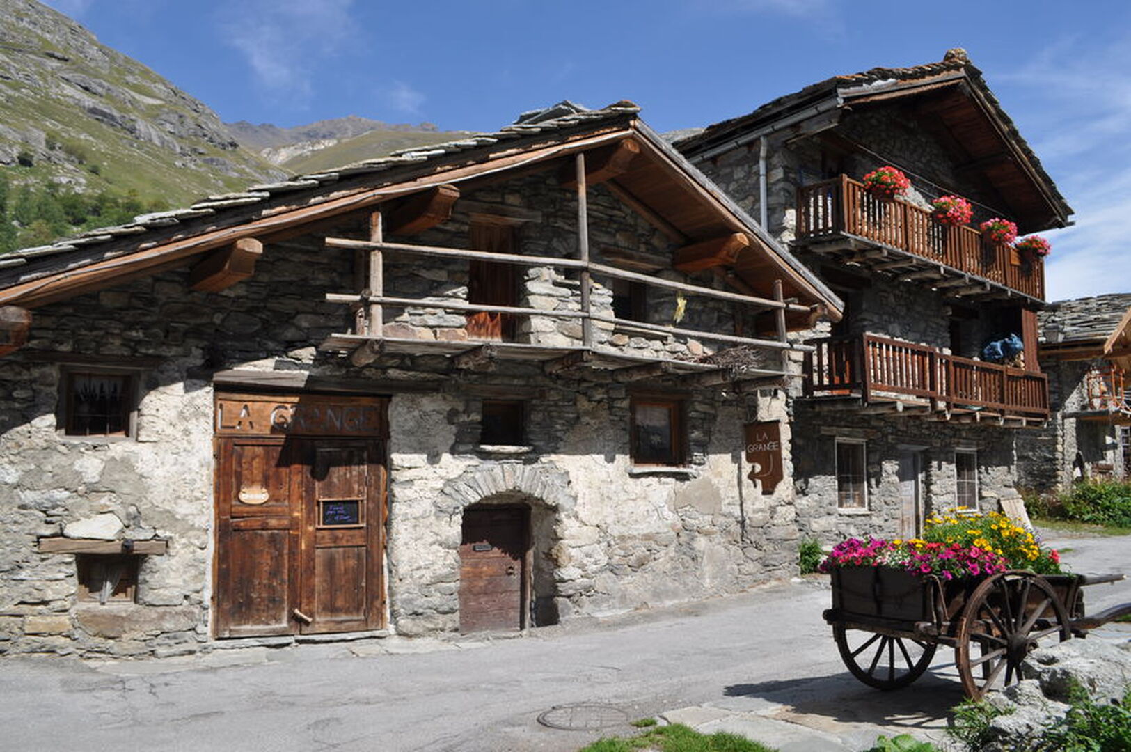
This long itinerary has several uses: as a route to Italy for passing cyclists, either by taking the train from Modane or cycling over the Col du Mont-Cenis; as a way of getting to the foot of the Col de l’Iseran; or simply to explore the Haute Maurienne!
Animal : Not acceptedSee more
Commune :
Saint-Michel-de-Maurienne
Adresse :
Rue du général Férrié
73140
73140
Équipements
- Picnic area
- Bar
- Public WC
- Parking
Prices
Free access.
Opening Time
All year round.
Documents
L’itinéraire en bref
-
Type d'itinéraire ALLER_RETOUR
-
Distance 60.8 km
-
Dénivelé positif 1590 m
-
Dénivelé négatif 500 m
-
Altitude max. 1800 m