Col de la Madeleine
Saint François Longchamp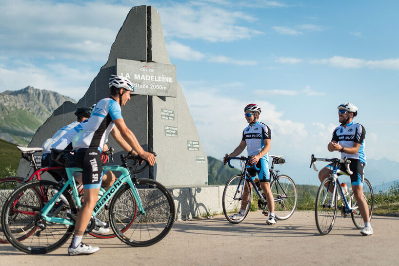
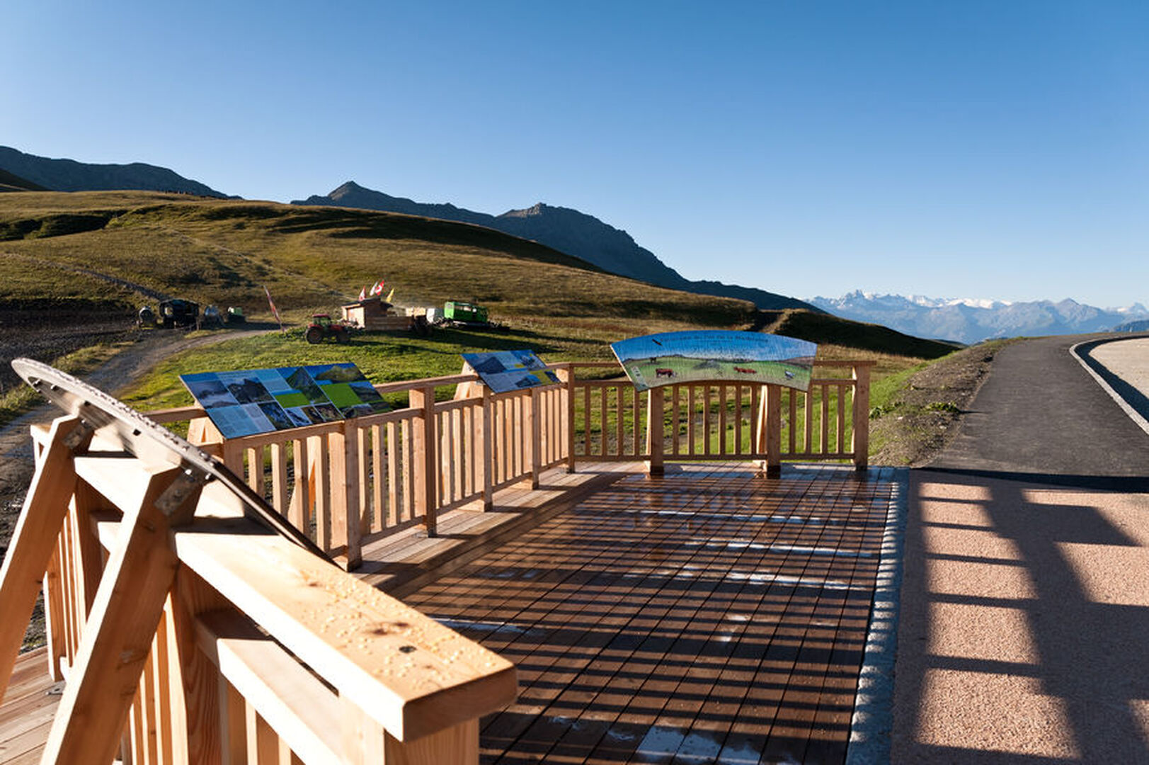
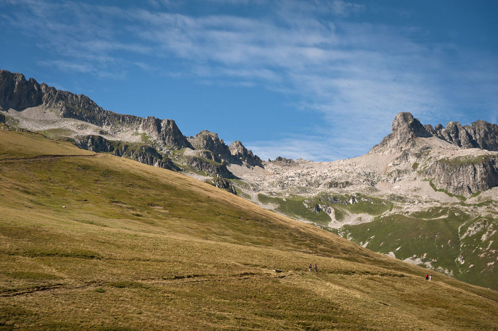
The Col de la Madeleine at 1993 meters is located between the Tarentaise and the Maurienne, and separates the Vanoise and Lauzière massifs. A monastic and then strategic place, it became a popular climb for cyclists from 1969.
The pass connects La Léchère, near Moûtiers, to the north, to La Chambre, near Saint-Jean-de-Maurienne, to the south. Two ski resorts are linked by this pass: Valmorel on the Tarentaise side and Saint-François-Longchamp on the Maurienne side, the pass and the road leading there being snow-covered and closed in winter. It separates the western part of the Vanoise massif and the Lauzière massif. It rises to 1,993 meters above sea level according to the IGN but is indicated at 2,000 meters by the road.
The pass is probably known since Roman times. It linked Épierre to Moûtiers. In the second half of the 12th century, the monks of the Tamié abbey in Tarentaise used the pastures there from Celliers. A chapel is dedicated to Marie-Madeleine on the banks of the Arc; candles are placed there in order to make the passage through the pass under the best auspices. The chapel, falling into ruins, was closed in 1761.
In 1792, General François-Christophe Kellermann, after having fought at the Battle of Valmy, crossed the pass at the head of the Army of the Alps in order to conquer Savoy. It was crossed militarily several times until the beginning of the 19th century.
Around 1938, refugees from the Spanish Civil War built a stone road from Saint-François-Longchamp. From 1949, the route was completely revised and, in 1969, the asphalting of the road was completed for the first passage of the Tour de France.