


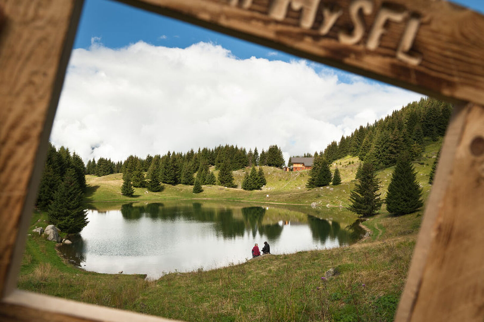
The “Grande Léchère” lake loop (3)
Saint François Longchamp
[Montgellafrey area]
Red level (medium) itinerary. around 3h30 long.
Starting point from «le Mollard du Praz», after the Replat hamlet. Walk on the road and arrived at the first turn, take on the right on a forest track. Leave the main track that goes on the right and go straight ahead. Then, you will cross a narrow passage with a cable on the wall to hang yourself on. At the mangette, the path goes up on the right. At the intersection of the «Cohendets», let «les Sapeys des Cohendets» on your left. After you have passed the «Lac de la Grande Léchère», take the track passing next to the municipal water tank until you reach the «Croé pas». Take the path that goes down on the right. At the «Forêt des Vernettes», take the track turning on the right and then immediately on the left (hairpin bend). At the «Forêt du Praz», take on the right and then right away on the left. The pist goes down to the Mollard du Praz, where you began your hike.
Dogs allowed. They must be kept on leash.
See more
73130
Équipements
- Public WC
Services
- Pets welcome
Prices
Free of charge
Opening Time
From 01/07 to 31/08 : open daily.
Dogs allowed. They must be kept on leash.
Spoken languages
-
 English
-
 French

L’itinéraire en bref
-
Type d'itinéraire BOUCLE
-
Distance 6.8 km
-
Dénivelé positif 547 m
-
Dénivelé négatif 547 m
-
Altitude max. 1747 m
Hiking guide edited by the Tourist Office of Saint-François Longchamp.
