


Cycling loop: Circuit de Beau Plan / Boucle de Beaune
Saint-Michel-de-Maurienne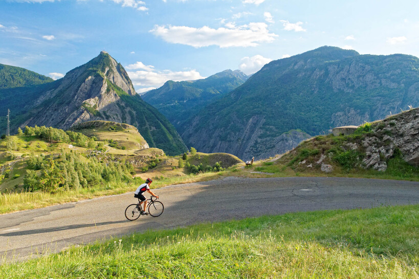
This route is much less well known and less frequently cycled than the Col du Télégraphe, just opposite, on the other side of the valley, but it is just as beautiful and just as steep... And the road is much quieter!
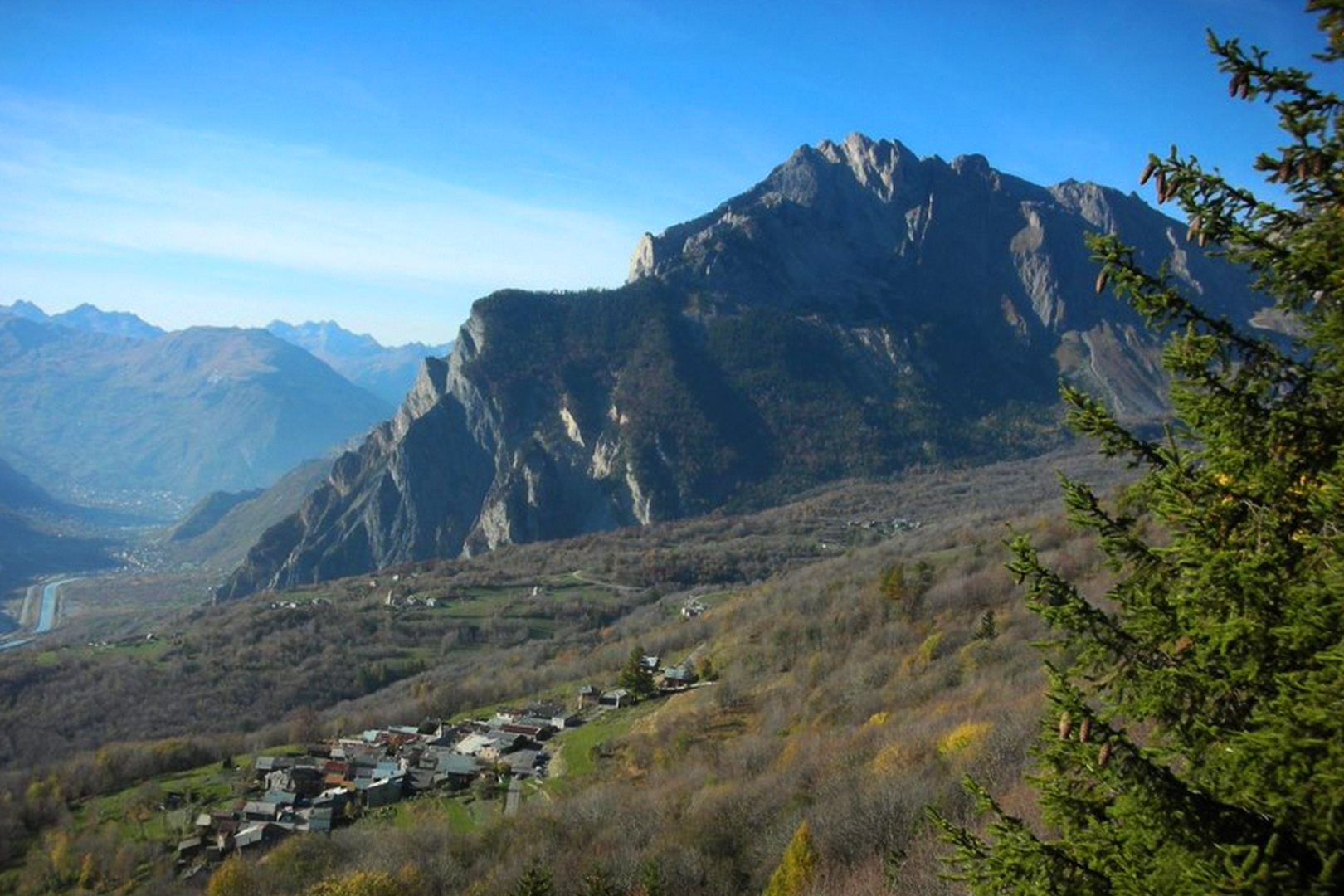
A magnificent panorama awaits you at the Col de Beau-Plan (view of the Aiguilles d'Arves, Croix des Têtes, Crey du Quart, Les Karellis, Valmeinier).
Road conditions on this route are good, and traffic is low.
There are a number of stopping points, including water in Saint-Michel-de-Maurienne, and refreshment points in Saint-Michel-de-Maurienne, Le Thyl and Saint-Martin-la-Porte. The nearest repair point is in Saint-Jean-de-Maurienne.
See more
73140
Équipements
- Picnic area
- Bar
- Public WC
- Parking nearby
Services
- Pets welcome
Opening Time
From 15/03 to 15/11 daily.
Subject to favorable snow and weather conditions.
L’itinéraire en bref
-
Type d'itinéraire BOUCLE
-
Précision balisage Departmental markings: Circuit de Beau - Plan / Boucle de Beaune N°32 black
-
Distance 24.2 km
-
Dénivelé positif 736 m
-
Dénivelé négatif 736 m
-
Altitude max. 1415 m
Vélo de Route" map of "La Maurienne, the world's largest cycling area" published by Maurienne Tourisme and available from all Maurienne Tourist Offices (subject to availability).